Mount Everest is on the border between Nepal and the Tibet Autonomous Region of China, in the Mahalangur Himal sub-range of the Himalayas. Its summit stands at 8,848.86 m (29,031.7 ft), the highest point on Earth above sea level. Most visitors reach it from the Nepal side, and the southern face lies within Nepal.
If you’re planning a trip, this guide covers the exact location, the map coordinates and how to see Everest up close. The quickest way is an Everest Base Camp helicopter tour from Kathmandu.
Table of Contents
Mount Everest location at a glance
| Fact | Detail |
|---|---|
| Country | Nepal and China (Tibet Autonomous Region), on the border |
| Nepal side | Solukhumbu District, Koshi Province, inside Sagarmatha National Park |
| Tibet side | Tingri County, Xigazê Prefecture |
| Mountain range | Mahalangur Himal, Great Himalayas |
| Coordinates | approx. 27.9881° N, 86.9250° E |
| Height | 8,848.86 m (29,031.7 ft) |
| Local names | Sagarmatha (Nepali), Chomolungma / Qomolangma (Tibetan) |
| Distance from Kathmandu | roughly 160 km north-east |
Which country is Mount Everest in?
Everest sits on the international border between Nepal and China, so the answer is both. In practice, most people say Nepal. The southern side, the most popular climbing and trekking route, is in Nepal. Nepal is a landlocked South Asian country with China to the north and India to the south, east and west.
Nepal calls the mountain Sagarmatha, “Forehead of the Sky”. Tibetans call it Chomolungma, “Goddess Mother of the World”. The English name honours Sir George Everest, a former Surveyor General of India.
Where is Mount Everest in Nepal?
On the Nepal side, Everest is in the Solukhumbu District of eastern Nepal, inside Sagarmatha National Park, a UNESCO World Heritage Site. The gateway is Lukla (2,860 m), where most trekkers start, and Namche Bazaar is the main Sherpa hub on the trail.
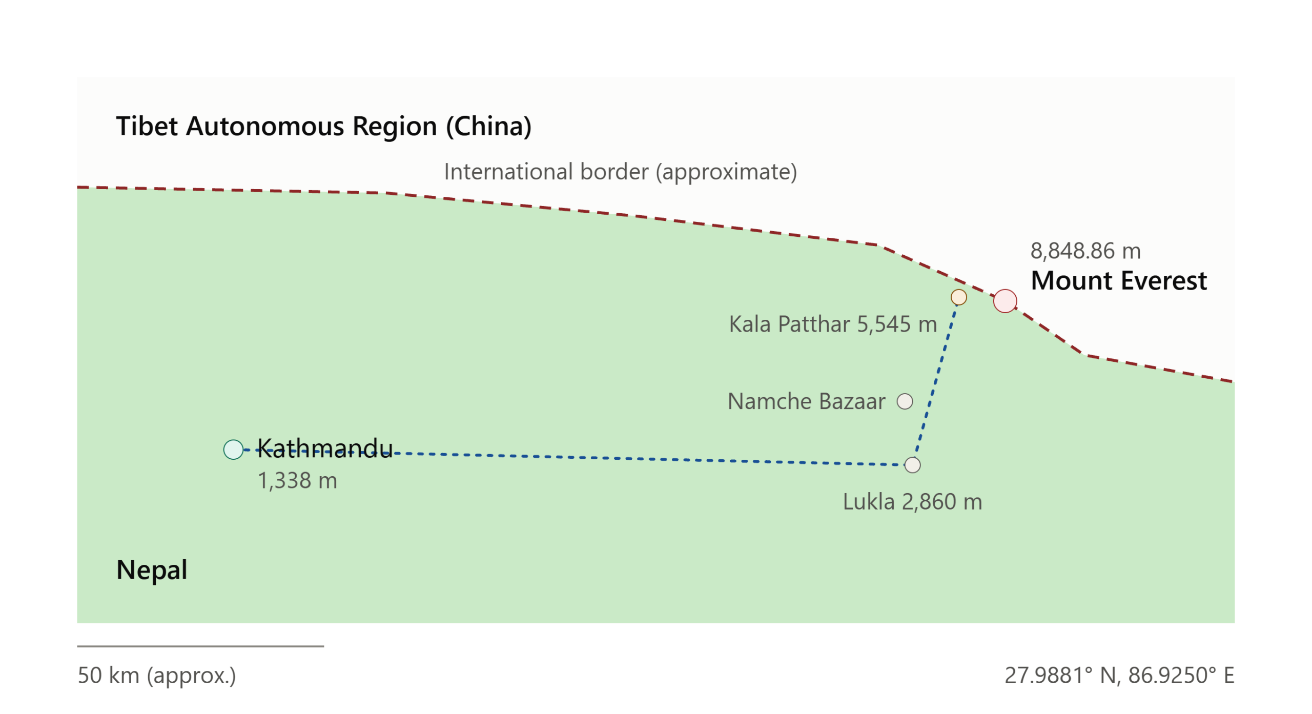
Key places in the Everest region:
- Everest Base Camp (5,364 m): the south-side starting point for summit expeditions.
- Kala Patthar (5,545 m): the classic viewpoint, with the closest clear view of Everest’s summit pyramid.
- Hotel Everest View (about 3,880 m): a hotel near Syangboche known for breakfast with Everest in view.
- Khumbu Glacier and Icefall: the first big obstacle for climbers.
Eight of the world’s ten highest mountains are in or on the border of Nepal, which is why the country is so well known for trekking and mountaineering.
How to see Mount Everest
There are three main ways to see Everest, depending on your time, budget and fitness.
1. Trek to Everest Base Camp. This is the classic route: about 12 to 14 days round trip from Lukla, including acclimatization days. It’s rewarding but demanding, and weather and flight delays at Lukla can disrupt schedules.
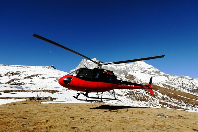
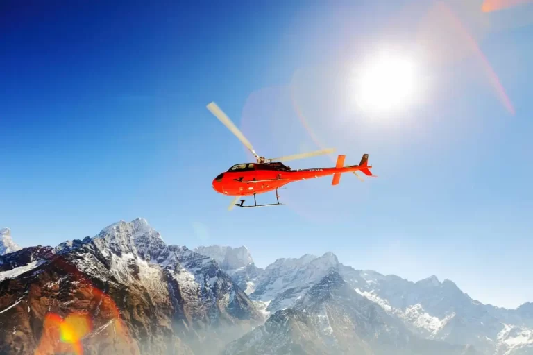
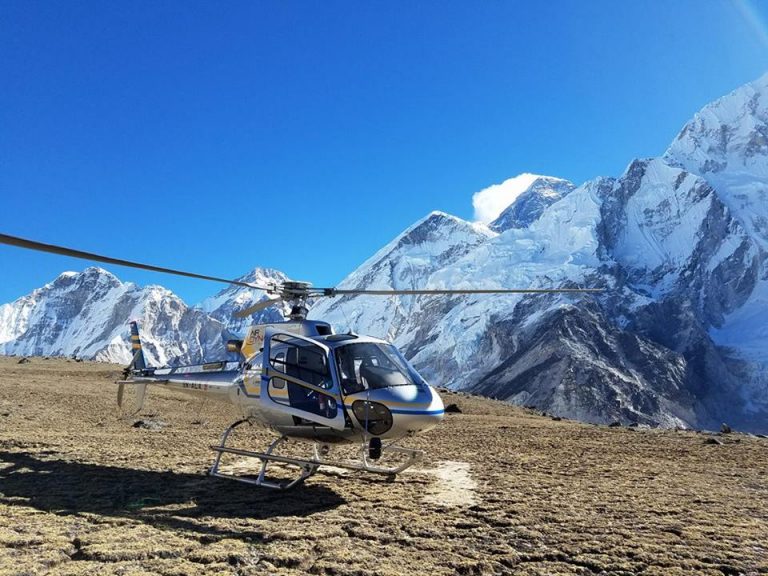
2. Fly to see Everest by helicopter. If you only have a day, an Everest helicopter tour from Kathmandu is the fastest option. The tour takes about 5 hours from Kathmandu and back. You fly via Lukla, pass over the Khumbu Glacier and Everest Base Camp, and have breakfast at Hotel Everest View. The private and shared-landing options include a short landing at Kala Patthar, about 5 to 10 minutes, because of the altitude and cold. Prices start from USD 1,399 per person on the group-joining flight. Sharing Kala Patthar landing and private charter options cost more, and you can check current rates with the helicopter tour cost calculator.
3. Take a mountain flight or a viewpoint trip. Scenic flights and the short hike to viewpoints like Syangboche give a distant view of Everest for a smaller budget.
Not sure whether a helicopter can land at base camp itself? Helicopters generally overfly Everest Base Camp, and the landing point is Kala Patthar. Our guide, can a helicopter land at Everest Base Camp?, explains what tours really do.
How long does it take to climb Mount Everest?
A typical summit expedition takes about two months, mostly because of acclimatization.
- Climbers reach Base Camp in early spring, around late March or April.
- They then make rotations through the Khumbu Icefall to Camp 1, Camp 2 and Camp 3, returning to lower camps between rotations to adapt to the altitude.
- The summit window usually falls in mid-to-late May, when winds are calmer and temperatures are milder.
- Climbers start their summit push from Camp 4 at night and try to reach the top around sunrise, leaving time to descend before dark.
There are two main climbing routes: the Southeast Ridge from Nepal (most popular) and the North Ridge from Tibet. Everest has claimed over 300 lives since the first attempts, and altitude sickness, weather and wind are the biggest dangers. Sir Edmund Hillary and Tenzing Norgay Sherpa made the first confirmed ascent on 29 May 1953.
Best time to see Mount Everest
The clearest views come in spring (March–May) and autumn (September–November). Winter (December–February) is cold but crisp and quiet, and the monsoon (June–August) brings clouds that often block the view. Early morning flights give the best chance of clear skies.
Plan your Everest flight
If your trip to Nepal is short, seeing Everest from the sky is the most time-efficient way to do it. See the full itinerary, inclusions and dates on our Everest Base Camp Helicopter Tour page, or use our Everest heli pickup service if you’re trekking and want to fly back from Gorakshep or Lukla.
FAQs about the location of Mount Everest
Is Mount Everest in Nepal or Tibet?
Both. The summit is on the border between Nepal and the Tibet Autonomous Region of China. The southern approach and Sagarmatha National Park are in Nepal.
What are the coordinates of Mount Everest?
Approximately 27.9881° N latitude and 86.9250° E longitude.
How tall is Mount Everest?
8,848.86 m (29,031.7 ft), as jointly announced by Nepal and China in December 2020.
How far is Everest from Kathmandu?
About 160 km north-east. By helicopter the one-way flight to the Everest Base Camp area takes roughly 1 hour 25 minutes.
Can you see Everest from Kathmandu?
Not from the city. The mountain is hidden behind other peaks, and you need to fly or go towards the Khumbu region for a clear view.
Can you see Mount Everest without trekking?
Yes. A one-day Everest helicopter tour from Kathmandu takes about 5 hours.